Low-pressure area intensifies into depression, cyclone to be formed by Mon

Bhubaneswar: A low-pressure area over the north Andaman sea that on Saturday intensified into a depression, around 1,460 km south-southeast of Sagar Island in West Bengal, is expected to take the shape of a cyclonic storm by October 24, the IMD said in its bulletin.
The weather system moved west-northwestward and concentrated into a depression on Saturday at 8.30am, close to west of Andaman Islands, the bulletin said.
"It is expected to move northwestward and intensify further into a deep depression over east-central and adjoining southeast Bay of Bengal by October 23 morning.
"The system is then very likely to re-curve gradually north-northeastwards and intensify into a cyclonic storm over central Bay of Bengal by October 24 morning," the IMD stated.
Thereafter, it would continue to move north-northeastwards and cross Bangladesh coast, between Tinkona Island and Sandwip, around October 25 morning, the IMD forecast said.
The name 'Sitrang' has been proposed by Thailand for the possible cyclonic storm.
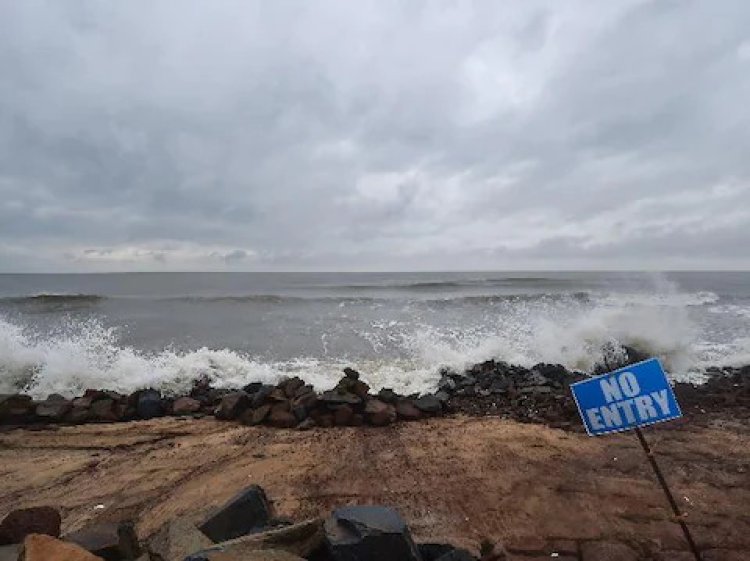
Meanwhile, the Odisha government has kept its men and machinery ready as the weatherman predicted heavy rainfall in the state's coastal districts.
"We have put authorities of eight districts on high alert. The state is ready to face challenges," said Special Relief Commissioner P K Jena.
The SRC also said that the state government, as part of its preparedness, was in touch with different agencies such as the NDRF, Indian Coast Guard, Indian Navy, and Fire Services for rescue operations, if need be.
Jena added the cyclone was likely to go past Odisha coast, maintaining a distance of around 200 km from Dhamra Port.